Generating models of built environments, landscapes, and objects.
Workflow for an Airborne Archaeological Survey for a Planned Road Construction
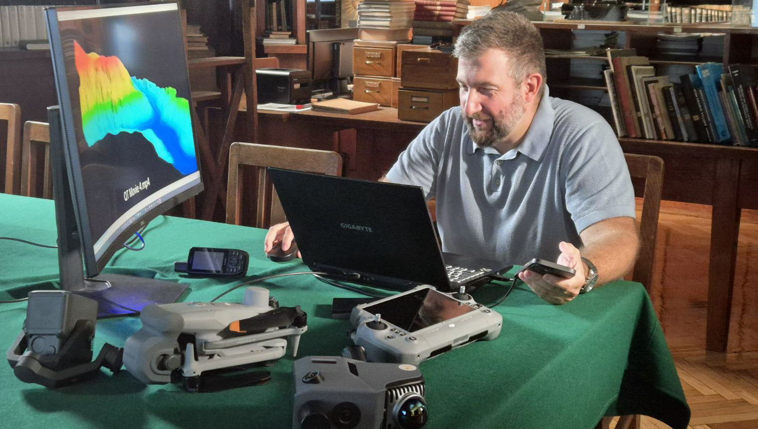
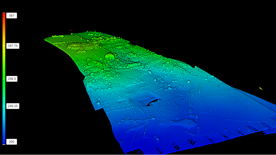
-collect remote sensing data
- LiDAR, 3D topography and subsurface structures
- Multispectral/Hyoerspectral, vegetation stress and soil composition
- Thermal imaging, temperature variations indicating buried features
- Hi-res RGB photography, visual context
-data processing with AI tools
- using TensorFlow and proprietary modules to process imagery
- training models like Mask R-CNN and U-Net for feature detection
- creating masks for labeled features